Product Details
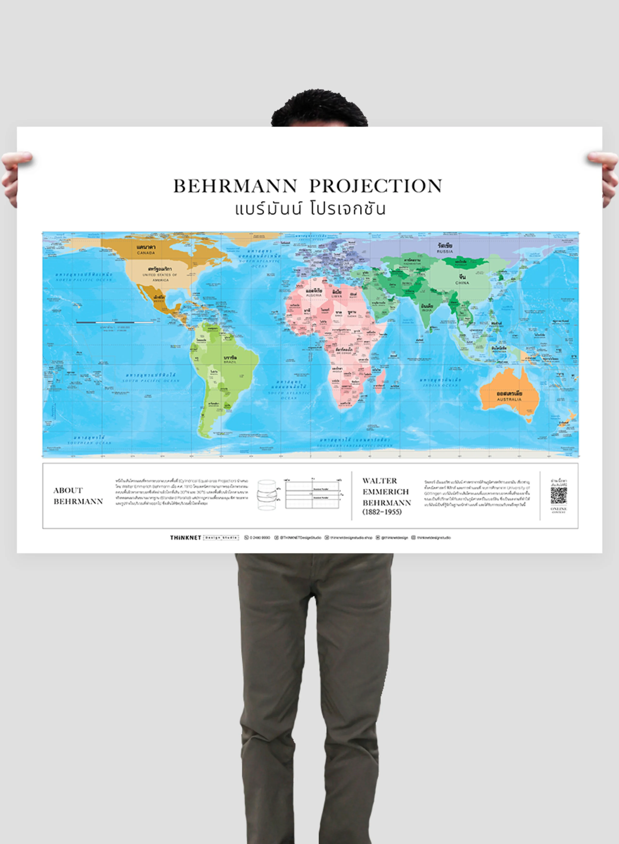
Political world map in the style of Robinson projection is an alternative map to the classic Mercator one. This widely popular map is also termed a pseudocylindrical projection.
• Shows a complete overview of the world. Although the projection emphasizes beauty rather than preciseness, it does try to minimize the distortions of the area, shapes, directions, distances, and angles that usually arise in two-dimensional map projections.
• Shows the boundaries divided by colors into 7 continents; Asia, Africa, North America, South America, Europe, Australia, and Antarctica, for a total of 193 countries.
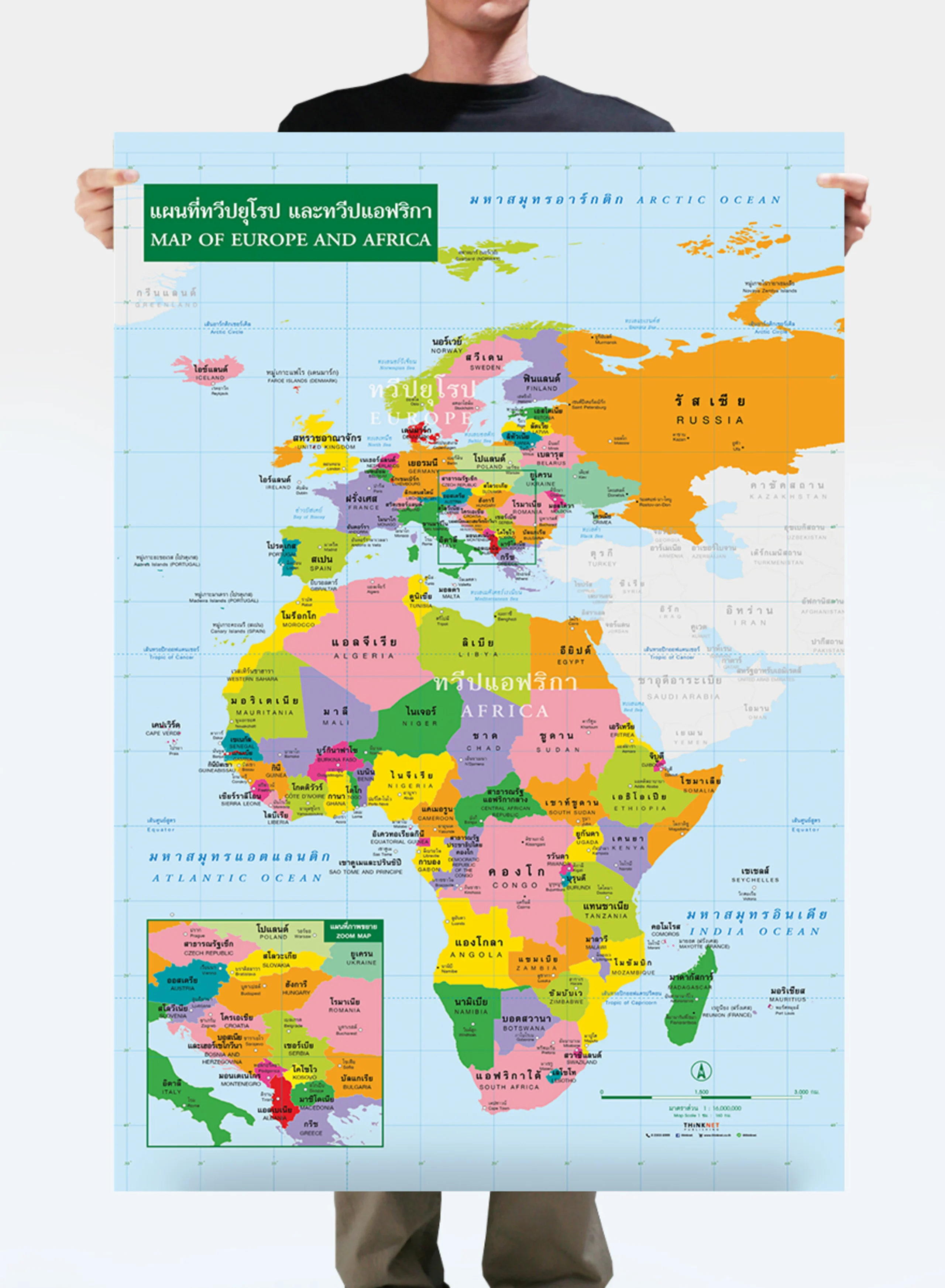
• Shows the governmental boundaries of each country, territory borders with neighboring countries, islands, archipelagos, seas, and important oceans.
• Shows names of countries worldwide, some capital cities, and overseas territories.
• Brief description of the map projection.
• Brief history of the map inventor.
• Language can be chosen: Thai-English or only English.
• 2022 updated.
• Size (M) 100x69 cm has a scale of 1:38,000,000 , size (XL) 138x100 cm has a scale of 1: 27,500,000.
• Suitable for senior high school students age 15-17 years old, or those interested in maps.


