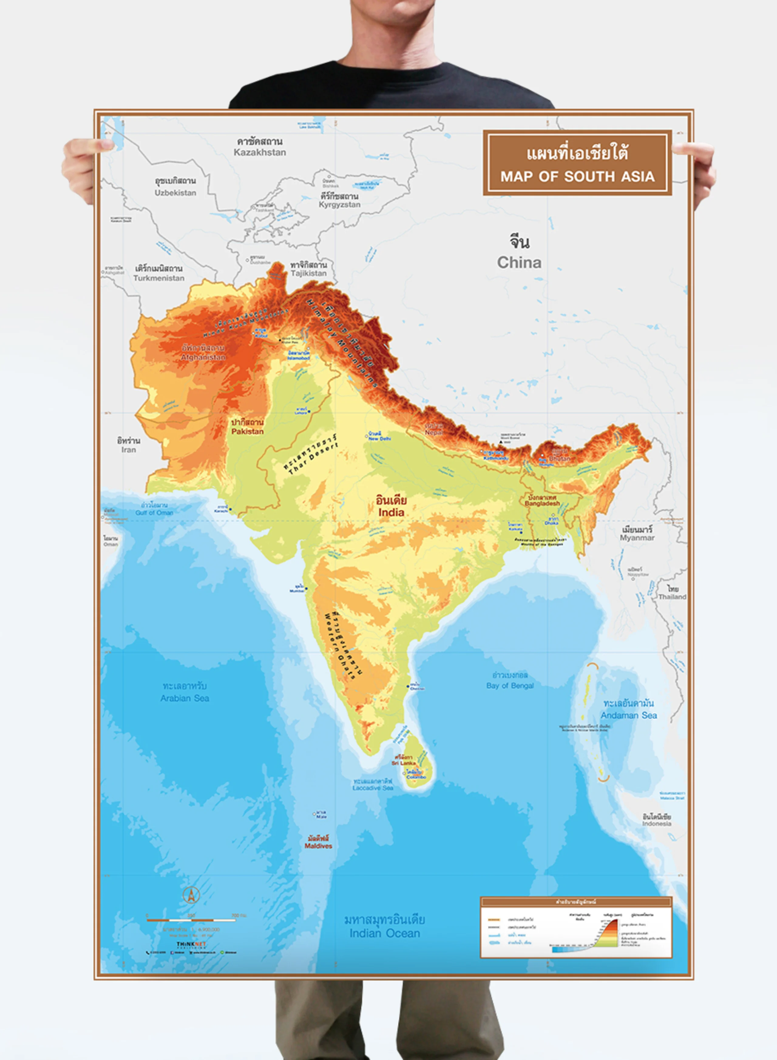
Political Map of South Asia
THB 449 - 4,999
Design:
Product Details
Political map of South Asia.
• Shows the overview of South Asia.
• Shows countries in South Asia divided by colors into 5 countries: Afghanistan, Pakistan, India, Bangladesh, and Bhutan.
• Shows the governmental boundaries of each country, territory borders with neighboring countries, islands, archipelagos, gulfs, seas, and important oceans.
• Shows capital cities and overseas territories.
• Bilingual: Thai-English.
• 2023 updated.
• Size (M) 69x100 cm has a scale of 1:6,900,000 , size (XL) 100x138 cm has a scale of 1:4,900,000 .
• Suitable for senior high school students age 15-17 years old.