Product Details
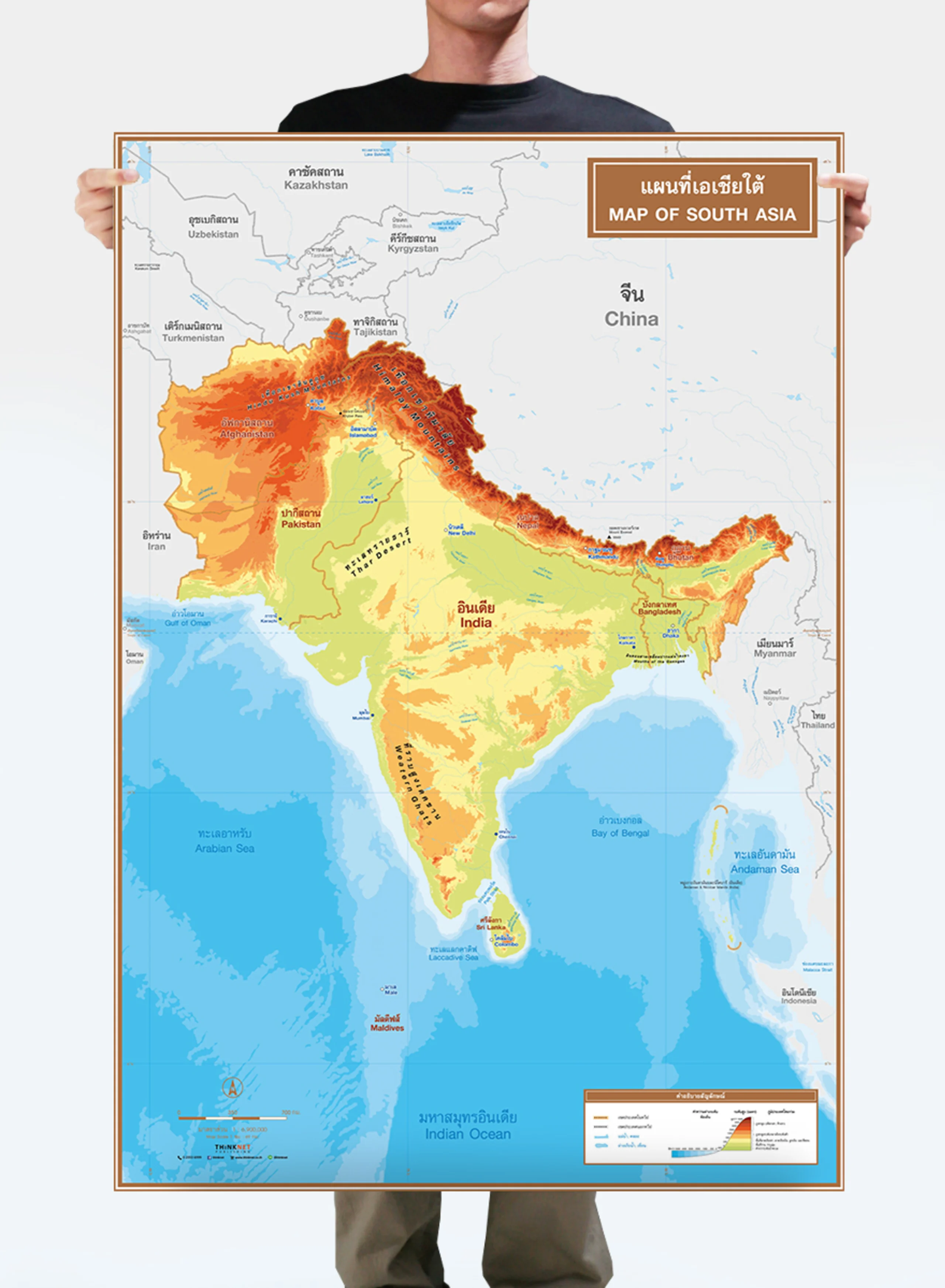
Physical map of Thailand.
• Covers 76 provinces and one special administrative area (Bangkok).
• Shows names, province boundaries, and borders of neighboring countries, including Myanmar, Laos, Vietnam, Cambodia, and Malaysia.
• Shows geographic information; mountain ranges, seas, rivers, and important gulfs.
• Shows geographical features in different colors based on the elevations and depth of the seas.
• Shows the height of the important peaks.
• Use for studying the geography of provinces in each region of Thailand.
• Bilingual: Thai-English.
• 2023 updated.
• Size (M) 69x100 cm has a scale of 1:1,750,000, size (XL) 100x138 cm has a scale of 1:1,270,000.
• Suitable for grade 4-6 primary school students age 9-11 years old.


