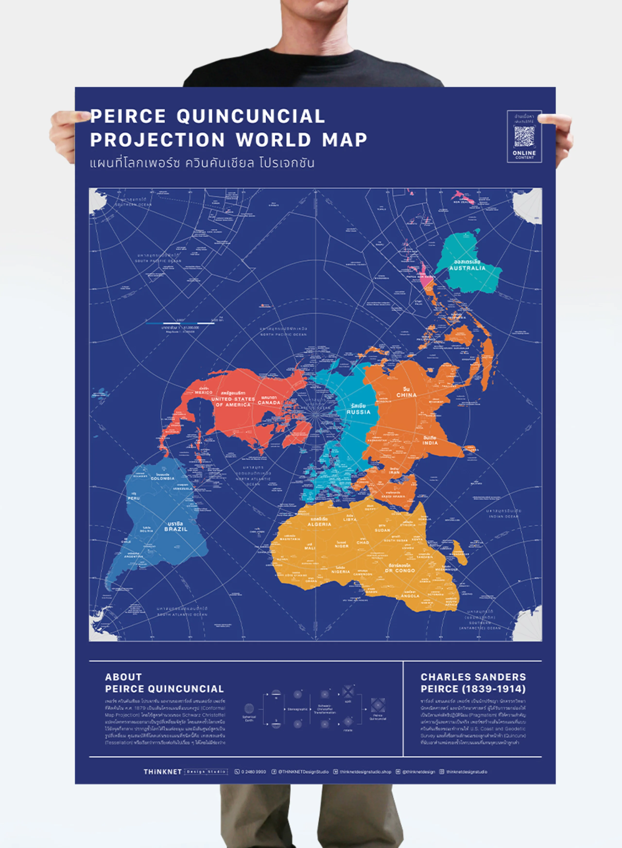
Product Details
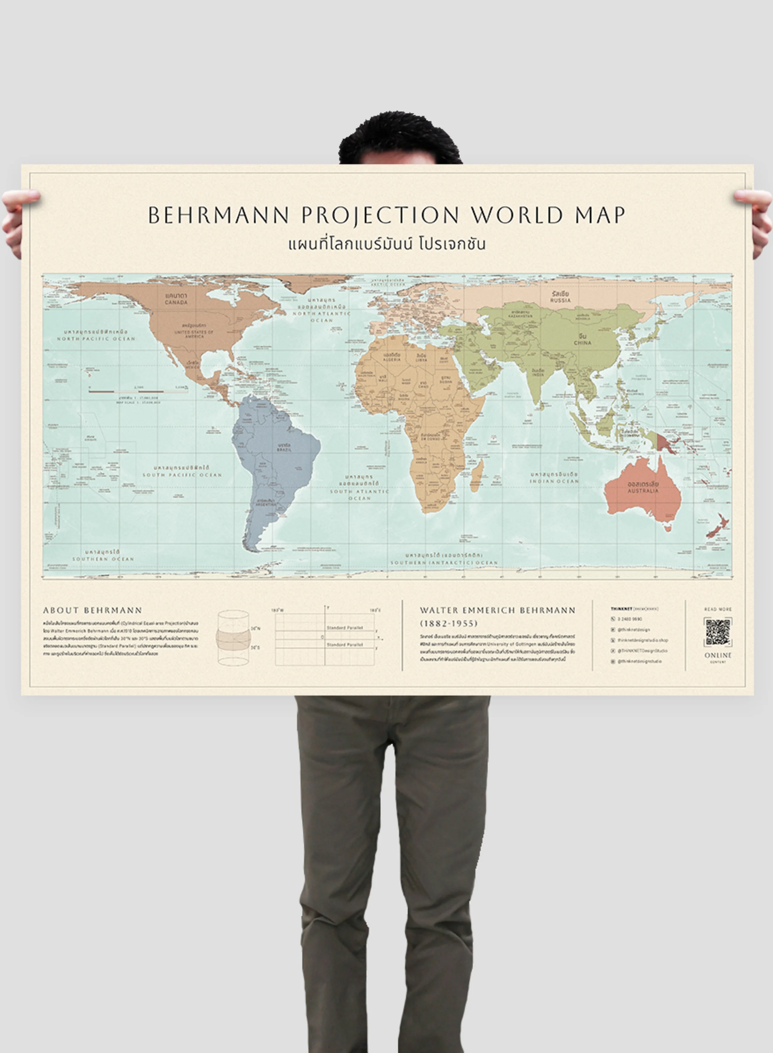
Beautiful and distinctive world map in the style of Behrmann projection with a minimal bright color design.
• Shows the actual size of the Earth’s surface area. However, the distortions of angles, directions, distances, and shapes are increased further from the standard parallel, resulting in explicit distortions along the North and South poles.
• Shows the boundaries divided by colors into 7 continents; Asia, Africa, North America, South America, Europe, Australia, and Antarctica, for a total of 193 countries.
• Shows the governmental boundaries of each country, territory borders with neighboring countries, islands, archipelagos, seas, and important oceans.
• Shows names of countries worldwide, some capital cities, and overseas territories.
• Brief description of the map projection.
• Brief history of the map inventor.
• Language can be chosen: Thai-English or only English.
• Can be used as learning material and decoration at the same time.
