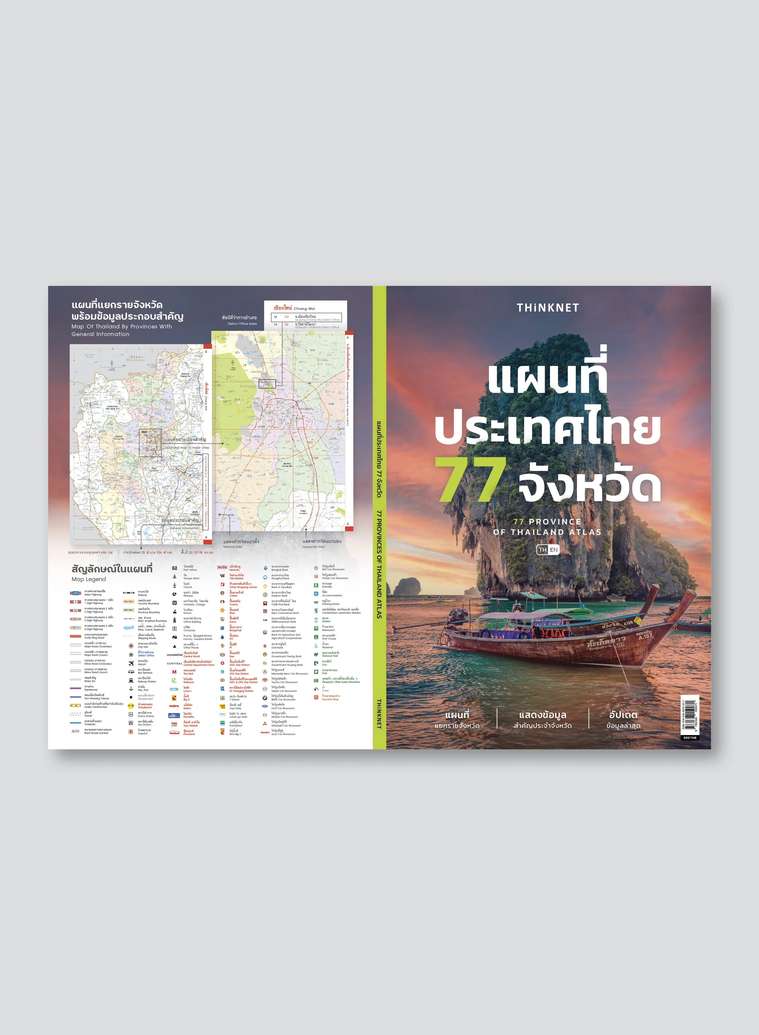
Bilingual Map of Thailand and Central Bangkok
BEST SELLER
THB 15040% OFF
THB 250
Design:
Product Details
Thailand and central Bangkok map in 2 Bilingual; Thai and English. 2020 updated.
• Covers 76 provinces and one special administrative area (Bangkok).
• Additional central Bangkok inset map, including Phra Nakhon, Pom Prap Sattru Phai, Samphanthawong, Pathumwan, Bang Rak, Yannawa, Sathorn, Bang Kho Laem, Dusit, Bang Sue, Phaya Thai, Ratchathewi, Huai Khwang, Khlong Toei, Chatuchak, Thonburi, Khlong San, Bangkok Noi, Bangkok Yai, Din Daeng, and Wattana.
• Shows important spots such as business districts, government offices, and tourist attractions.
• Shows index of major highways with significant spots, major highways for regional traveling, and information about neighboring countries.
• Bright colorful map with clear detail.
• Pocket size. Easy to carry.
• The overall map has a scale of 1: 1,750,000.
• The central Bangkok inset map has a scale of 1: 20,000.


