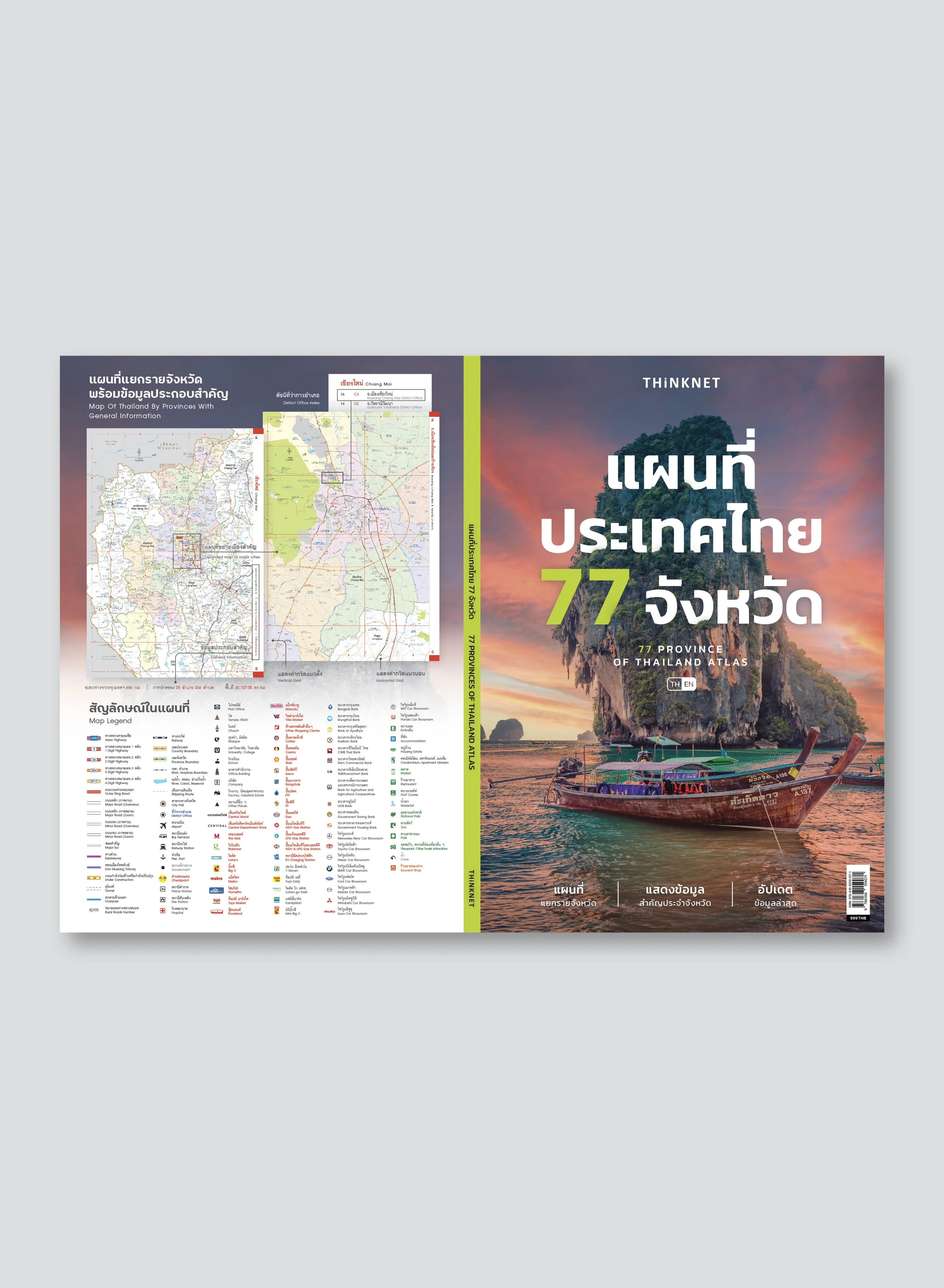
Bilingual map of Bangkok & Nearby Provinces
BEST SELLER
THB 250
Design:
Product Details
Bangkok and nearby provinces map in 2 languages, Thai and English. 2020 updated.
• Covers Bangkok overview and 10 nearby provinces (Nonthaburi, Samut Prakan, Pathum Thani, Phra Nakhon Si Ayutthaya, Samut Sakhon, Chachoengsao, Nakhon Pathom, Suphan Buri, Saraburi, Nakhon Nayok).
• The front shows the upper part of Bangkok map, while the back shows the lower part of Bangkok map
• Shows information of important areas; business districts, government offices, tourist attractions.
• Index of roads, alleys, hotels, temples, hospitals, embassies, office buildings, shopping malls, etc.
• Update current and upcoming metro transit systems.
• Bright colorful map with the clear detail.
• Pocket size. Easy to carry.
• The upper part of Bangkok and the lower part of Bangkok maps have a scale of 1: 90,000.


