Product Details
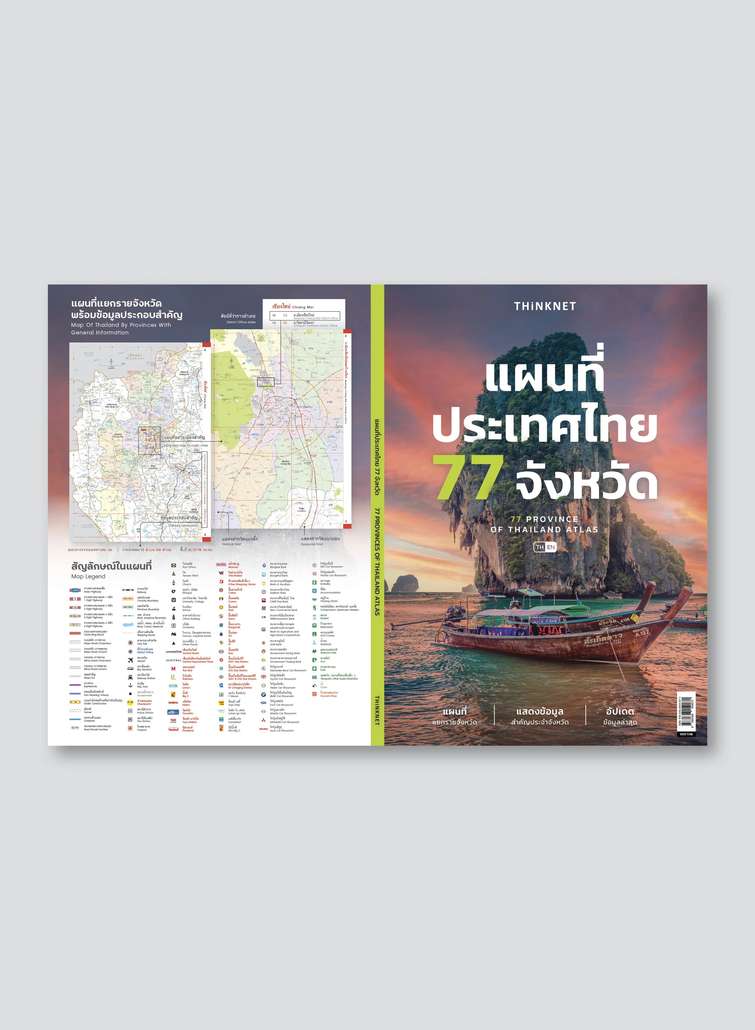
Bilingual 77 provinces of Thailand atlas book (Thai-English), 172 pages, covers 76 provinces and one special administrative area. Easy to use. 2023 updated.
• Shows detailed maps of each province with information about Asian Highway Network, 1-4 digit major highways, rural roads numbers, roads, major soi (alleys), expressways, tunnels, overpasses, railways, shipping routes, and interchanges such as bus terminals, railway stations, ports, and airports.
• Shows area and administration divisions, including boundaries of countries, provinces, 928 districts (amphoe), and 7,436 subdistricts (tambon).
• Shows important spots such as city halls, district offices, embassies, government offices, checkpoints, police stations, fire stations, hospitals, post offices, and banks.
• Shows other spots such as temples (wat), universities, schools, office buildings, companies, factories, industrial estates, showrooms, shopping malls, convenience stores, accommodations, housing estates, markets, restaurants, golf courses, souvenir shops, and tourist attractions.
• Shows spots of gas stations, NGV & LPG gas stations, and EV charging stations.
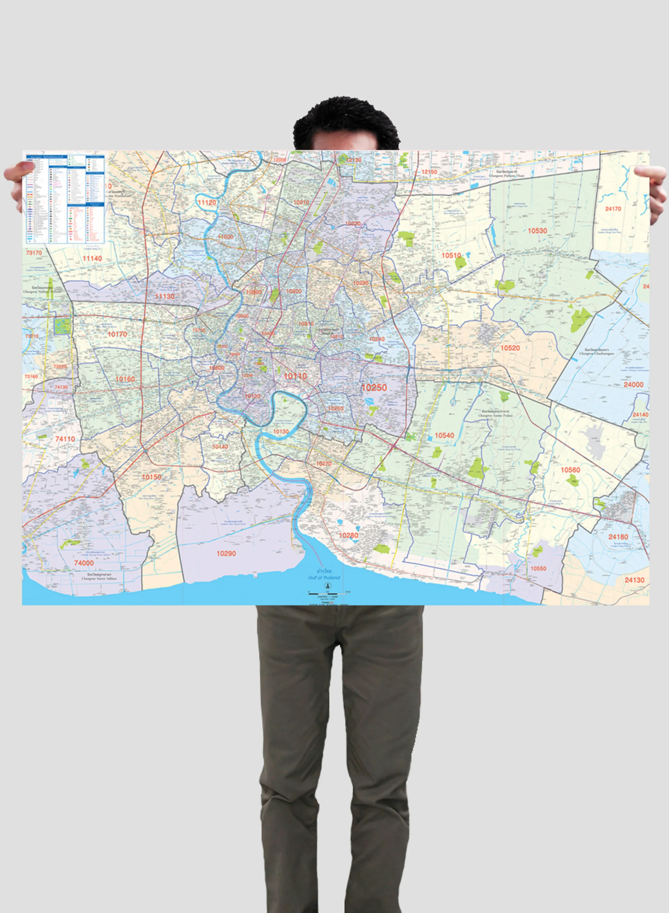
• Additional expanded maps of Bangkok, and Mueang Chiang Mai & Nearby Districts.
• Easy to find helpful information including district office index, province index, table of distance between each province, emergency numbers, as well as vertical and horizontal grids.
• Percise scales from 1:34,500 to 1:760,000.
• Clear detail with process color throughout the book.


